Fort Worth

FortWorthWeekly.news — Western roots. Neighborhood news for modern Fort Worth.

Back to Weather

5-day forecast / Fort Worth, TX

TuesdayMostly Sunny106° / 83° 4%
WednesdayMostly Sunny104° / 80° 14%
ThursdayMostly Sunny then Slight Chance Showers And Thunderstorms101° / 79° 20%
FridaySlight Chance Rain Showers100° / 79° 18%
SaturdaySunny101° / 79° 2%

Fort Worth Heat Advisory: 104F Heat Index Looms - Aug 16, 5 PM

Fort Worth weather, updated every four hours — local forecasts you can trust.

A Heat Advisory is active for Fort Worth. Current temperatures are 104F with low humidity. Expect sunny skies and highs near 103F today, rising to 104F tomorrow.

Tessa Whitlock

August 16, 20262 min read

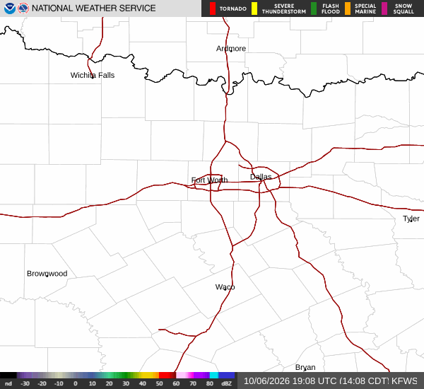
National Weather Service radar for North Texas (KFWS)

*As of Aug 16, 5 PM local time.*

Current Heat Conditions

Fort Worth is currently under a Heat Advisory, a moderate-severity alert issued by the National Weather Service. The air temperature stands at 104F, and it feels like 104F due to the dry air. Relative humidity is low at 17%, with a dew point of 50F.

Winds are blowing from the south at 10 mph, though gusts are only reaching 6 mph. The sky remains clear, allowing the sun to intensify the heat. This dry heat is characteristic of the current pattern, where the lack of moisture prevents the air from cooling effectively.

Today and Tonight Outlook

Today will be sunny with a high near 103F. The heat index values are expected to reach as high as 103F. South winds will remain around 5 mph.

Tonight, the sky will stay clear. Temperatures will drop to a low near 80F, but they are expected to rise to around 82F overnight. The heat index will remain significant, reaching values as high as 101F.

South winds will continue at approximately 5 mph. The lack of precipitation, with a 0% chance of rain, means there will be no relief from the heat.
Tomorrow's Forecast

Tomorrow will also be sunny, with a high near 104F. The heat index values are projected to climb as high as 106F, indicating dangerous heat levels. Southwest winds will be around 5 mph.

The chance of precipitation is minimal at 1%. Tonight, the sky will be clear with a low near 81F, rising to around 83F overnight. The heat index will reach values as high as 104F.

South winds will persist at around 5 mph. Given the sustained high temperatures and heat index values, it is crucial to stay hydrated and limit outdoor exertion during the hottest parts of the day. Check on neighbors and ensure pets have access to water and shade.

The Heat Advisory remains in effect, so residents should remain vigilant about heat-related risks.

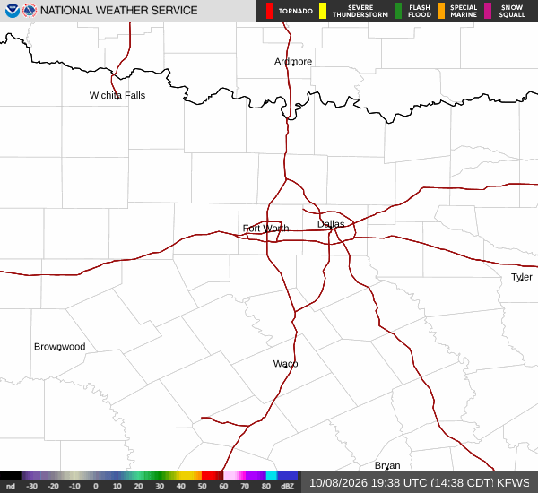
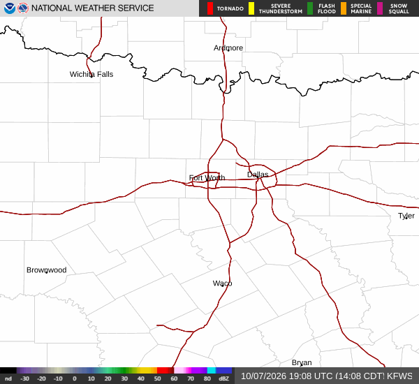
National Weather Service radar for North Texas (KFWS)

Sources

https://radar.weather.gov

https://api.weather.gov

https://open-meteo.com

Share

Tessa Whitlock

Tessa Whitlock covers weather, storms, and seasonal life around Fort Worth.

Related Stories

More in Sport