*As of Aug 13, 5 AM local time.*
Extreme Heat Underway
Fort Worth is bracing for significant heat as a Heat Advisory remains in effect. The National Weather Service has issued this moderate-severity alert due to dangerously high temperatures expected across the area. Residents should take immediate precautions to avoid heat-related illnesses.
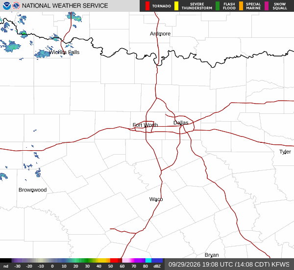
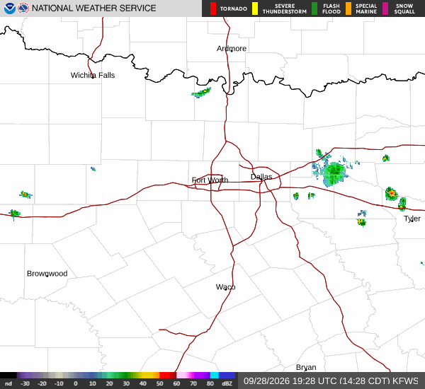
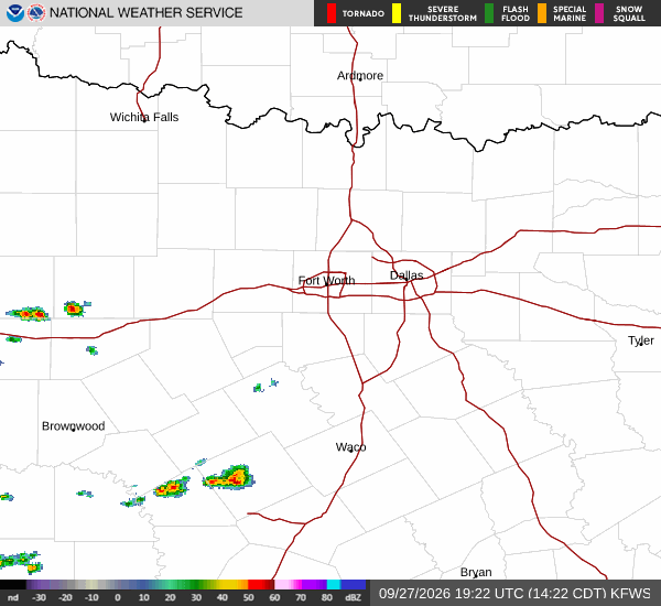
Current conditions reflect the intensity of the event. At this moment, the air temperature stands at 82F, but the combination of heat and moisture makes it feel like 87F. The relative humidity is holding at 70%, with a dew point of 72F, creating a muggy atmosphere despite the clear sky.
Winds are blowing from the south at 11 mph, with gusts reaching up to 29 mph.
Forecast Details
Today will be sunny and extremely hot, with a high near 102F. The heat index is expected to reach as high as 103F during the peak afternoon hours. South winds will continue at 10 to 15 mph, with gusts potentially hitting 25 mph. There is no chance of precipitation today.
Tonight, skies will remain clear. Temperatures will drop to a low around 81F, though they may rise slightly to around 84F overnight. Winds will persist from the south at around 10 mph, with gusts as high as 20 mph. The heat index could still reach 102F during the evening hours before settling.
Tomorrow continues the trend of intense heat. Expect another sunny day with a high near 100F. The heat index is forecast to climb as high as 104F, making it feel even hotter than the actual air temperature. South winds will remain steady at 10 to 15 mph, with gusts up to 25 mph. No rain is expected.