*As of Sep 28, 2 PM local time.*
Current Conditions and Active Alerts
Fort Worth residents are currently under an active Air Quality Alert issued by the National Weather Service. This alert remains in effect, signaling that air quality conditions may pose health risks for sensitive groups. While the specific severity and urgency levels are not detailed in the current report, the advisory stands as a notable condition for the area.
As of this afternoon, the air temperature sits at 91 degrees Fahrenheit, with a feels-like temperature of 93 degrees due to humidity levels. The relative humidity is recorded at 41 percent, with a dew point of 64 degrees. Winds are blowing from the south-southeast at 10 miles per hour, with gusts reaching up to 12 miles per hour. The sky remains mostly clear overhead.
Forecast for Today and Tomorrow
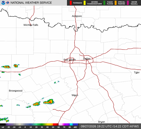
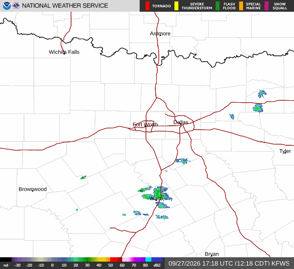
Today, high temperatures are expected to reach near 93 degrees Fahrenheit. There is a slight chance of showers and thunderstorms developing after 4 p.m., with the overall chance of precipitation at 18 percent. Overnight, lows will drop to around 76 degrees.
A slight chance of showers and thunderstorms may persist before 7 p.m., followed by partly cloudy skies. The heat index today is expected to peak as high as 98 degrees.
Tomorrow brings warmer conditions with a high near 95 degrees Fahrenheit under mostly sunny skies. The heat index will rise significantly, reaching values as high as 101 degrees. Winds will shift to the south-southeast at 5 to 15 miles per hour, with gusts potentially hitting 30 miles per hour.
Lows tomorrow night will settle around 77 degrees under partly cloudy skies, with winds continuing from the south-southeast at 10 to 15 miles per hour and gusts up to 30 miles per hour.