*As of Sep 27, 2 PM local time.*
Active Alerts and Current Conditions
Residents of Fort Worth are currently under an Air Quality Alert issued by the National Weather Service. This alert remains active, signaling potential concerns for air quality in the area. Alongside this advisory, the region is experiencing significant heat.
As of this Sunday afternoon, the air temperature stands at 93F, but the combination of humidity and sun makes it feel like 96F. The relative humidity is at 41%, with a dew point of 66F. Winds are light, blowing from the south-southeast at 8 mph with gusts reaching 8 mph, under a clear sky.
Forecast for Today and Tonight
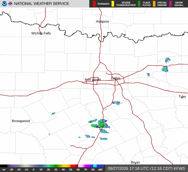
Today, Fort Worth will see partly sunny skies with scattered showers and thunderstorms developing. The high will reach near 96F, though temperatures may dip slightly to around 94F in the afternoon. Heat index values are expected to climb as high as 101F. There is a 30% chance of precipitation. Winds will shift to south-southeast at around 5 mph.
Tonight, conditions will remain partly cloudy with scattered showers and thunderstorms likely before 4am. The low will settle around 75F. Heat index values could still reach 97F during the early part of the night. Winds will ease to between 0 and 5 mph from the southeast. There is a 30% chance of rain, with new rainfall amounts less than a tenth of an inch possible.
Tomorrow Outlook
Tomorrow, the sun will return with sunny skies developing after 7am. However, there remains a chance for showers and thunderstorms to appear later in the day. The high will be near 95F, cooling to around 93F in the afternoon.