Fort Worth

FortWorthWeekly.news · Western roots. Modern Fort Worth news.

Back to Weather

5-day forecast / Fort Worth, TX

SundaySlight Chance Showers And Thunderstorms100° / 79° 13%
MondaySunny100° / 79° 6%
TuesdaySunny100° / 79° 2%
WednesdaySunny101° / 80°
ThursdaySunny102° / 79°

Dangerous Heat Grips Fort Worth With Feels-Like of 102F - Aug 9, 12 PM

Fort Worth weather, updated every four hours — local forecasts you can trust.

Fort Worth faces dangerous heat today with a high near 99F and feels-like temperatures reaching 102F. Sunny skies continue into tomorrow with highs near 100F.

Tessa Whitlock

August 9, 20262 min read

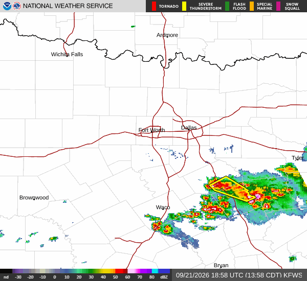
National Weather Service radar for North Texas (KFWS)

*As of Aug 9, 12 PM local time.*

Dangerous Heat Conditions

A dangerous heat event is currently affecting Fort Worth, TX. As of this Sunday afternoon, the air temperature stands at 97F, but the heat index makes it feel like 102F. Relative humidity is at 39% with a dew point of 68F. Winds are blowing from the south at 10 mph, though gusts have been recorded up to 8 mph. The sky remains clear overhead.

Forecast Outlook

Today will remain sunny with a high near 99F. Heat index values are expected to reach as high as 103. South winds will persist between 5 to 10 mph.

The chance of precipitation is minimal at just 1%. Temperatures will drop tonight, but not by much. Expect clear skies with a low around 79F.

However, temperatures may rise slightly to around 81F overnight. Heat index values could still hit 101 during the night hours. South southeast winds will continue at 5 to 10 mph.

Tomorrow brings another day of intense heat. The forecast calls for sunny skies and a high near 100F. This pushes the heat index up to 104, making it feel even hotter than the actual air temperature.

South winds will remain steady at 5 to 10 mph. The chance of rain stays at 1%. As tomorrow night approaches, conditions will clear out again with a low around 80F.
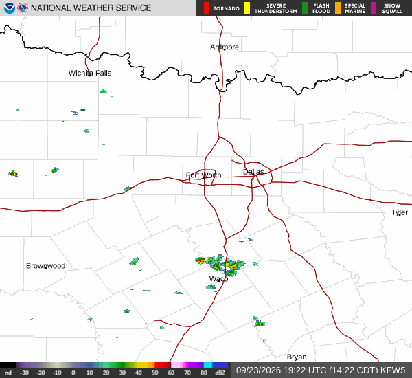
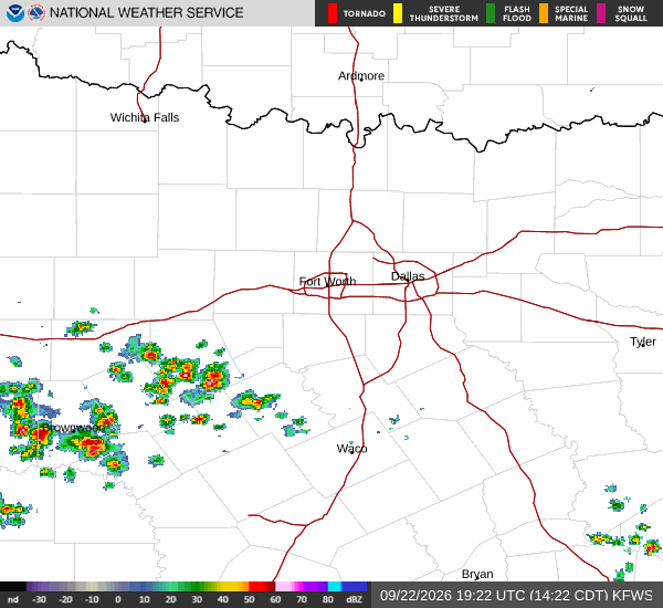
Heat index values may reach 102, and south winds will hover around 10 mph.

Safety Reminders

With heat indices exceeding 100F for multiple days, extreme caution is necessary. Stay hydrated by drinking water frequently, even if you do not feel thirsty. Limit outdoor exertion, especially during the midday hours when the sun is strongest.

Wear lightweight, light-colored clothing and seek air-conditioned environments as much as possible. Check on elderly neighbors or those without reliable cooling to ensure their safety. Do not leave people or pets in parked vehicles under any circumstances.

National Weather Service radar for North Texas (KFWS)

Sources

https://radar.weather.gov

https://api.weather.gov

https://open-meteo.com

Share

Tessa Whitlock

Tessa Whitlock covers weather, storms, and seasonal life around Fort Worth.

Related Stories

More in Sport