*As of Jul 13, 4 AM local time.*
Active Alerts and Current Conditions
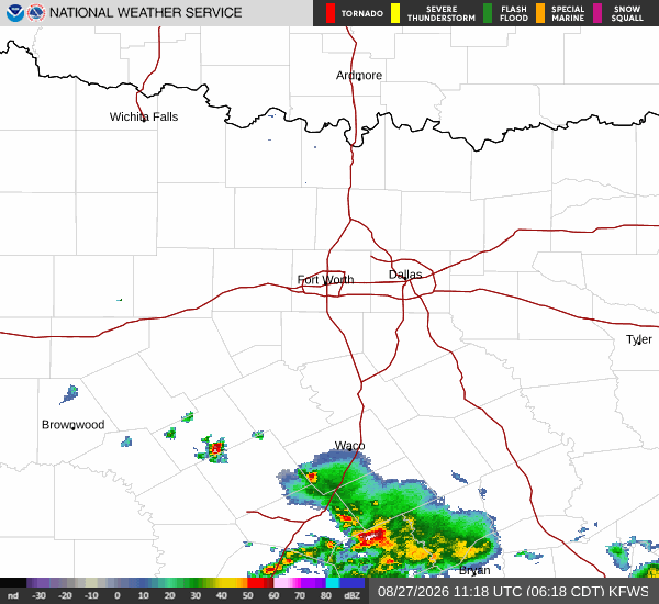
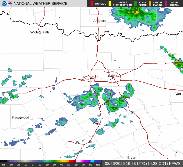
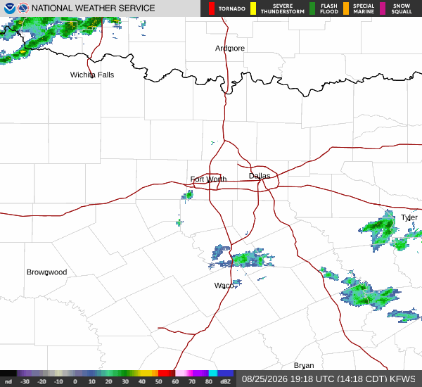
A Flood Advisory with minor severity and expected urgency is currently in effect for Fort Worth. This alert was issued by the National Weather Service in Fort Worth, Texas, and remains active until the specified end time. Residents should remain aware of potential flooding risks in low-lying and poor drainage areas.
It is currently Monday overnight in Fort Worth. The air temperature is 73F, with a feels-like temperature of 75F. Humidity is quite high, with relative humidity at 94% and a dew point of 72F. Winds are light at 3 mph with gusts up to 8 mph. The sky is currently producing heavy rain accompanied by fog and mist.
Forecast for Today and Tomorrow
Today, showers and thunderstorms are likely. The sky will be partly sunny. The high will be near 90F, with temperatures dropping to around 87F in the afternoon. The chance of precipitation is 60%. New rainfall amounts between a quarter and half of an inch are possible. Winds will be from the east southeast at 0 to 5 mph.
Tonight, there is a chance of showers and thunderstorms. Conditions will be mostly cloudy with a low around 76F. The chance of precipitation is 40%.
Southeast winds will be around 0 mph. New rainfall amounts less than a tenth of an inch are possible. There is also a slight chance of showers and thunderstorms before 7pm, with partly cloudy skies and a low around 74F.
During this earlier period, the chance of precipitation is 20%, with new rainfall amounts between a tenth and quarter of an inch possible.
Tomorrow, a chance of showers and thunderstorms is expected after 7am. The sky will be partly sunny. The high will be near 91F, falling to around 87F in the afternoon.