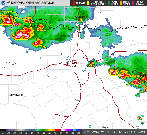
As of Jul 5, 4 PM local time.
Active Alerts and Current Conditions
A Severe Thunderstorm Watch is currently active for the Fort Worth area, signaling an environment where damaging winds and large hail are possible. This alert remains in effect until 10:00PM CDT today. Alongside the storm risk, residents are facing dangerous heat conditions.
Current readings show an air temperature of 97F, but the heat index makes it feel like 101F. The relative humidity is at 37% with a dew point of 66F. Winds are blowing from the southeast at 8 mph, with gusts reaching up to 6 mph, under a clear sky.
Forecast for Today and Tonight
Today, there is a chance of showers and thunderstorms, particularly before 4pm, followed by a continued chance later in the day. The high will reach near 101F, with heat index values climbing as high as 105. Precipitation chances are around 46% to 50%, with new rainfall amounts expected to be less than a tenth of an inch.
Temperatures will drop to a low near 78F tonight. Conditions will be mostly cloudy with a chance of showers and thunderstorms before 10pm, then again between 10pm and 4am. The heat index will remain high, reaching up to 103.
Winds will be light, from the southeast at 0 to 5 mph.
Outlook for Tomorrow
Tomorrow, the weather will clear up significantly. Expect sunny skies with a high near 99F. While the air temperature will be slightly lower, the heat index will still reach as high as 103.