Fort Worth

FortWorthWeekly.news · Western roots. Modern Fort Worth news.

Back to Weather

5-day forecast / Fort Worth, TX

SundaySunny100° / 79° 1%
MondaySunny100° / 79° 2%
TuesdaySunny101° / 80°
WednesdaySunny102° / 80°
ThursdaySunny102° / 79°

Extreme Heat Hits Fort Worth With Highs Near 103F - Aug 8, 8 PM

Fort Worth weather, updated every four hours — local forecasts you can trust.

Fort Worth experiences intense heat this Saturday evening with a high near 103F and feels-like temperatures reaching 92F. No severe weather alerts are in effect.

Tessa Whitlock

August 9, 20262 min read

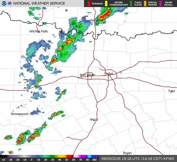
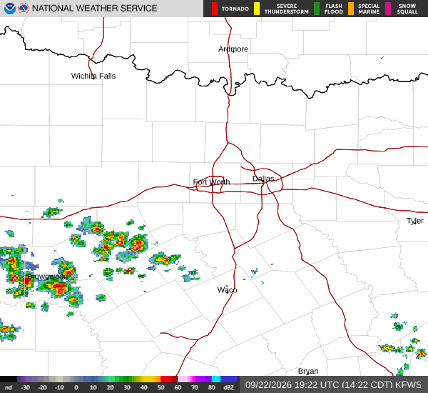
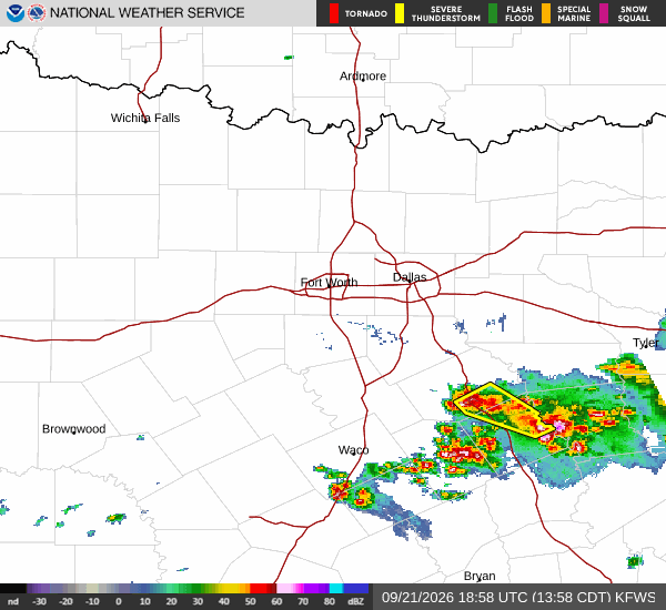
National Weather Service radar for North Texas (KFWS)

*As of Aug 8, 8 PM local time.*

Current Conditions and Heat Index

Fort Worth is currently under the influence of very hot air, with the thermometer reading 90F while the heat index makes it feel like 92F. The relative humidity sits at 46%, with a dew point of 66F. Winds are blowing from the south at 18 mph, with gusts reaching up to 24 mph, helping to mix the air but not significantly lowering the perceived temperature.

The sky remains clear overhead as Saturday evening progresses.

Today and Tonight Forecast

Today brought a high near 103F, marking a significant heat event for the area. As the day transitions into tonight, there is a slight chance of showers and thunderstorms before 7pm. After that window, skies will become mostly clear.

Temperatures will drop to a low around 79F, though they may rise slightly to around 81F later in the night. The heat index values are expected to reach as high as 101 during this period. Winds will shift to a south direction at 5 to 10 mph, with a 20% chance of precipitation overall.
Tomorrow Outlook

Tomorrow will be sunny with a high near 100F. The heat index is forecast to climb as high as 103, indicating that the oppressive heat will persist into the next day. Winds will come from the south southwest at 5 to 10 mph. There is only a 1% chance of precipitation, suggesting dry conditions throughout the day.

Safety Reminder

With temperatures and heat indices remaining well above normal, residents are advised to stay hydrated and limit midday exertion. Check on neighbors who may be vulnerable to extreme heat. While there are no active National Weather Service alerts or warnings in effect for this area, the persistent high heat requires caution and awareness.

National Weather Service radar for North Texas (KFWS)

Sources

https://radar.weather.gov

https://api.weather.gov

https://open-meteo.com

Share

Tessa Whitlock

Tessa Whitlock covers weather, storms, and seasonal life around Fort Worth.

Related Stories

More in Sport