Fort Worth

FortWorthWeekly.news · Western roots. Modern Fort Worth news.

Back to Weather

5-day forecast / Fort Worth, TX

TuesdaySlight Chance Rain Showers then Chance Showers And Thunderstorms86° / 72° 46%
WednesdayChance Rain Showers90° / 73° 48%
ThursdayChance Showers And Thunderstorms89° / 75° 41%
FridaySlight Chance Rain Showers then Slight Chance Showers And Thunderstorms92° / 75° 19%
SaturdayMostly Sunny95° / 76° 2%

Humidity Rises in Fort Worth as Showers Linger Through Tomorrow - Jul 14, 12 PM

Fort Worth weather, updated every four hours — local forecasts you can trust.

Fort Worth faces high humidity with a dew point of 72F today. Scattered showers and thunderstorms are possible both today and tomorrow, with highs near 86F and 90F respectively.

Tessa Whitlock

July 14, 20262 min read

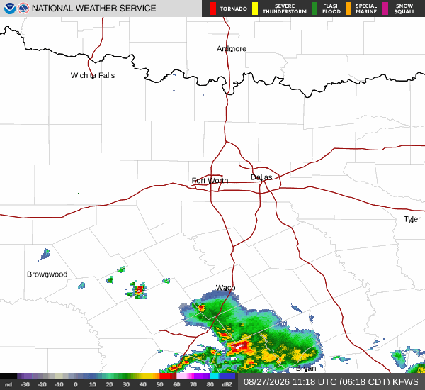
National Weather Service radar for North Texas (KFWS)

*As of Jul 14, 12 PM local time.*

Current Conditions and Humidity

Fort Worth is experiencing notably humid air this afternoon. The current air temperature sits at 86F, but the heat index makes it feel like 92F. Relative humidity is at 62%, with a dew point of 72F indicating significant moisture in the atmosphere.

Winds are blowing from the east southeast at 11 mph, with gusts matching that speed. The sky remains mostly cloudy, limiting direct sunlight but trapping heat near the surface.

Today and Tonight Forecast

Today, temperatures will peak near 86F before dropping to a low near 71F tonight. There is a 42% chance of precipitation, with showers and thunderstorms possible. According to the National Weather Service, a slight chance of rain showers exists before 10am, followed by a chance of showers and thunderstorms between 10am and 4pm.

Conditions remain mostly cloudy with east southeast winds of 5 to 10 mph. Rainfall totals are expected to be minimal, less than a tenth of an inch.

Tonight, the chance of showers and thunderstorms continues, particularly before 7pm and again between 7pm and 1am. Skies will stay mostly cloudy with a low around 71F. Winds will shift to the south, ranging from 0 to 10 mph. Residents should expect another round of light rain, with new amounts less than a tenth of an inch possible.

Tomorrow Outlook

Temperatures will rise tomorrow, with a high near 90F. The heat index is expected to reach as high as 97F. There is a 46% chance of precipitation, with showers and thunderstorms likely.
A slight chance of rain showers occurs between 7am and 10am, followed by a chance of showers and thunderstorms between 1pm and 4pm. Skies will transition to mostly sunny. Highs will fall to around 86F in the afternoon.

South southwest winds will be light, from 0 to 5 mph. Rainfall amounts will again be less than a tenth of an inch.

Safety Reminder

Given the high humidity and heat index values approaching 97F, it is important to stay hydrated and limit strenuous outdoor activities during the hottest parts of the day. Check on neighbors and elderly relatives to ensure they are safe in the heat.

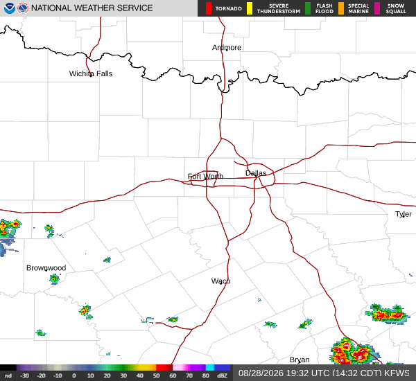
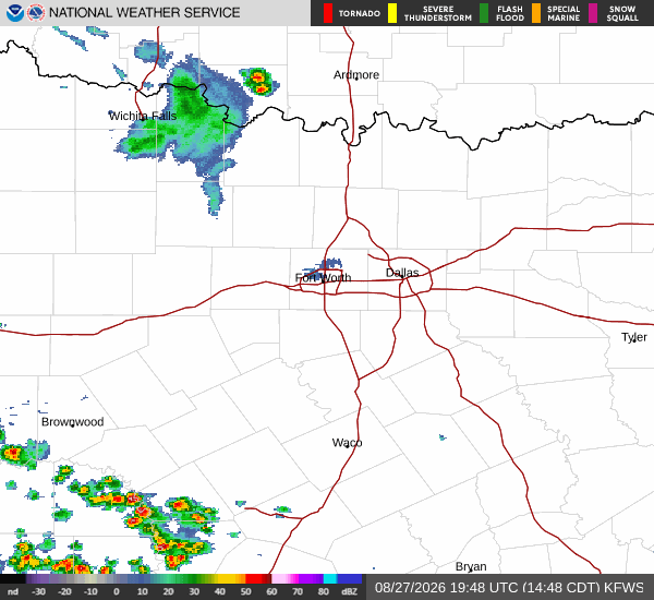
National Weather Service radar for North Texas (KFWS)

Sources

https://radar.weather.gov

https://api.weather.gov

https://open-meteo.com

Share

Tessa Whitlock

Tessa Whitlock covers weather, storms, and seasonal life around Fort Worth.

Related Stories

More in Sport