*As of Jul 12, 4 PM local time.*
Current Conditions and Heat Index
Fort Worth is experiencing intense heat this Sunday afternoon. The air temperature stands at 95F, but the heat index makes it feel like 98F. Relative humidity is at 39% with a dew point of 66F.
Winds are light at 8 mph, with gusts reaching 4 mph, under a mostly clear sky. Residents should take immediate steps to stay cool and hydrated, as the perceived temperature is significantly higher than the actual air temperature.
Today and Tonight Forecast
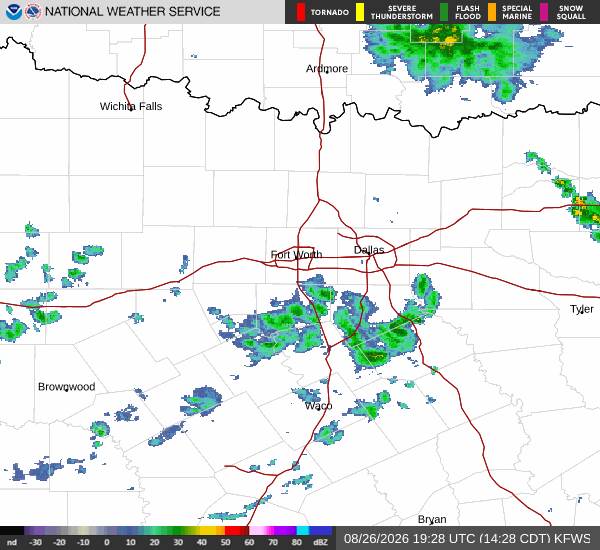
Today, the high will reach near 94F. There is a 51% chance of showers and thunderstorms. The National Weather Service indicates a chance of showers and thunderstorms with partly sunny skies. Heat index values are expected to climb as high as 102. South winds will be around 5 mph. New rainfall amounts less than a tenth of an inch are possible.
Tonight, conditions will remain partly cloudy with a low near 75F. Temperatures may rise to around 77F overnight. The chance of precipitation remains at 50%, with showers and thunderstorms likely.
Heat index values could reach 100. Southeast winds will range from 0 to 5 mph. New rainfall amounts between a tenth and quarter of an inch are possible.
Residents should continue to monitor conditions as humidity and heat persist through the night.