Fort Worth

FortWorthWeekly.news — Western roots. Neighborhood news for modern Fort Worth.

Back to Weather

5-day forecast / Fort Worth, TX

TuesdaySunny then Slight Chance Showers And Thunderstorms101° / 79° 12%
WednesdayChance Showers And Thunderstorms98° / 77° 28%
ThursdayChance Showers And Thunderstorms94° / 77° 41%
FridaySlight Chance Showers And Thunderstorms97° / 78° 17%
SaturdaySunny98° / 78° 3%

Fort Worth Heat Eases as Tropical Storm Edouard Brings Modest Rain Chance

Fort Worth weather, updated every four hours — local forecasts you can trust.

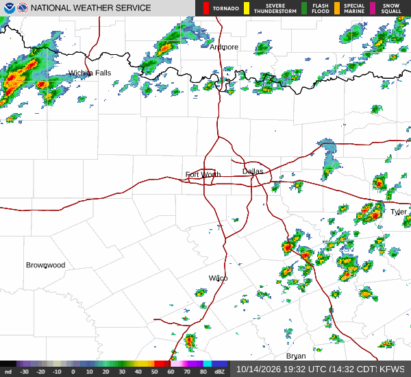
Tropical Storm Edouard is tracking toward the Texas-Louisiana border, bringing a slight chance of showers and cooler temperatures to Fort Worth. The heaviest rain is expected in Southeast Texas, while local conditions remain mostly sunny with high heat.

Tessa Whitlock

September 1, 20262 min read

Tropical Storm Edouard Brings Modest Rain Chance and Cooler Air to Fort Worth

Tropical Storm Edouard is currently tracking toward the Texas-Louisiana border, with guidance indicating it will make landfall in Texas today. While the storm is expected to turn west-northwest and weaken as it approaches Central Texas, its influence is already felt locally. The heaviest rainfall is forecast to remain over Southeast Texas, but Fort Worth residents can expect a rising, though modest, chance of precipitation.

This system is also expected to break the recent streak of extreme heat, offering a slight reprieve from the intense temperatures that have dominated the region.

Current Conditions and Today's Outlook

As of this morning, the air temperature in Fort Worth is 90 degrees Fahrenheit, with a feels-like temperature of 93 degrees. Relative humidity stands at 49 percent, and the dew point is 68 degrees. Winds are light at 5 mph, with gusts reaching 6 mph, and the sky is clear.

Today, the high temperature is expected to reach near 101 degrees, with a low near 79 degrees. There is a 12 percent chance of precipitation, with conditions remaining sunny until a slight chance of showers and thunderstorms develops after 1 p.m. Heat index values may reach as high as 104 degrees.

Winds will be from the south-southeast at 0 to 5 mph.
Tonight and Tomorrow's Forecast

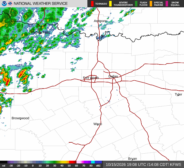
Tonight, a slight chance of showers and thunderstorms persists. The sky will be mostly clear, with temperatures dropping to around 79 degrees before rising to approximately 81 degrees overnight. Heat index values could reach 101 degrees, and southeast winds will blow at 0 to 10 mph.

Tomorrow, the high will be near 98 degrees, with a low near 77 degrees. The chance of precipitation increases to 28 percent, with a slight chance of rain showers before 1 p.m., followed by a chance of showers and thunderstorms between 1 p.m. and 4 p.m. The sky will remain sunny, and heat index values may reach 104 degrees.

East-southeast winds will range from 0 to 10 mph. An Air Quality Alert is currently active for the Fort Worth area. Given the continued high heat index values, it is advisable to stay hydrated and limit midday exertion.

Sources

https://www.fox4news.com/weather/tropical-storm-edouard-brings-rain-heat-relief-some-parts-texas

https://www.weather.gov/

Share

Tessa Whitlock

Tessa Whitlock covers weather, storms, and seasonal life around Fort Worth.

Related Stories

More in Sport