Fort Worth

FortWorthWeekly.news — Western roots. Neighborhood news for modern Fort Worth.

Back to Weather

5-day forecast / Fort Worth, TX

ThursdayChance Showers And Thunderstorms87° / 56° 28%
FridayChance Rain Showers then Mostly Sunny64° / 47° 40%
SaturdaySunny65° / 45°
SundaySunny71° / 50°
MondaySunny77° / 56° 1%

Wind Advisory in Effect for Fort Worth as Humidity Lingers - Oct 15, 2 PM

Fort Worth weather, updated every four hours — local forecasts you can trust.

A Wind Advisory is active for Fort Worth through tomorrow evening. Temperatures drop significantly tomorrow with gusty north winds and a chance of rain.

Tessa Whitlock

October 15, 20262 min read

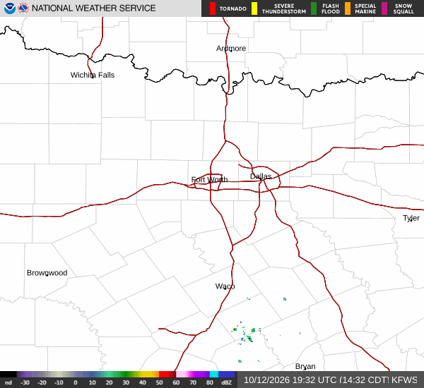
National Weather Service radar for North Texas (KFWS)

*As of Oct 15, 2 PM local time.*

Active Alerts and Current Conditions

A Wind Advisory is currently in effect for the Fort Worth area, issued by the National Weather Service. This moderate-severity alert remains in place until 7:00 PM CDT on October 16. The advisory highlights the potential for strong winds that could make driving difficult, especially for high-profile vehicles.

As of this Thursday afternoon, conditions are quite humid with a dew point of 70F and relative humidity at 66%. The air temperature sits at 82F, but it feels like 86F due to the moisture in the air. Winds are currently light at 5 mph with gusts reaching 6 mph, and the sky is cloudy.

Forecast for Today and Tonight

Today will see a high near 90F. The sky will be mostly sunny initially, but there is a slight chance of showers and thunderstorms developing after 4pm. Temperatures may fall to around 88F in the afternoon. South winds will increase slightly to 5 to 10 mph. The chance of precipitation is listed at 20%.

Tonight, conditions will shift as a cold front moves in. Expect mostly cloudy skies with a chance of showers and thunderstorms. Winds will turn north northwest, picking up significantly from 5 to 20 mph, with gusts as high as 35 mph.

This wind increase is the primary driver for the advisory. Temperatures will drop to a low around 58F, though they may rise slightly to 60F overnight. There is a 40% chance of precipitation, with new rainfall amounts between a tenth and quarter of an inch possible.
Tomorrow's Outlook

Tomorrow brings a notable cooldown and breezy conditions. The high will be near 65F, a sharp drop from today's heat. Skies will be mostly sunny after a slight chance of rain showers before 7am.

North winds will remain strong at 20 to 25 mph, with gusts as high as 40 mph. The chance of precipitation is 20%, with less than a tenth of an inch of new rainfall possible.

Tomorrow night, skies will become partly cloudy with a low around 48F. North winds will persist at 10 to 20 mph, with gusts up to 40 mph. Residents should secure loose outdoor items and drive cautiously during the windy periods.

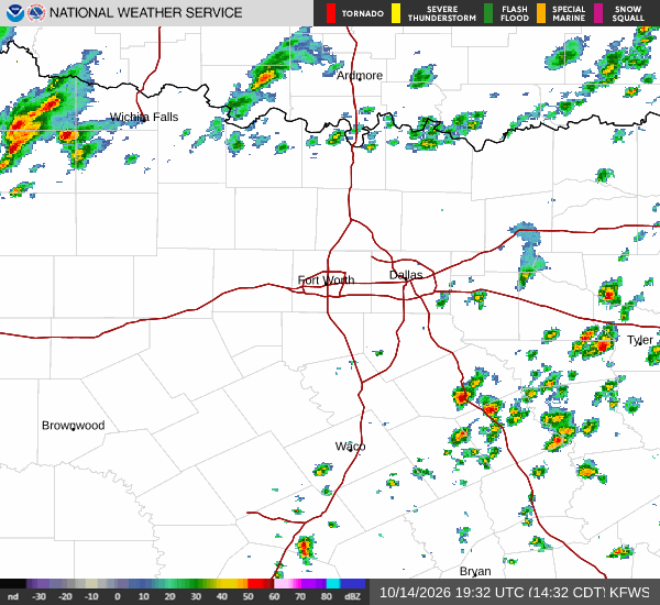
National Weather Service radar for North Texas (KFWS)

Sources

National Weather Service radar

National Weather Service forecast data

Open-Meteo weather data

Share

Tessa Whitlock

Tessa Whitlock covers weather, storms, and seasonal life around Fort Worth.

Related Stories

More in Sport