Fort Worth

FortWorthWeekly.news — Western roots. Neighborhood news for modern Fort Worth.

Back to Weather

5-day forecast / Fort Worth, TX

SundayRain Showers Likely79° / 66° 61%
MondaySunny82° / 61° 4%
TuesdaySunny82° / 63°
WednesdaySunny83° / 65°
ThursdaySunny86° / 66° 1%

Humid Start in Fort Worth as Rain Showers Lick the City - Oct 3, 2 PM

Fort Worth weather, updated every four hours — local forecasts you can trust.

Fort Worth wakes up muggy with a dew point of 70F. Rain showers are likely today with a high near 76F, while tomorrow brings warmer temperatures and gusty winds.

Tessa Whitlock

October 3, 20262 min read

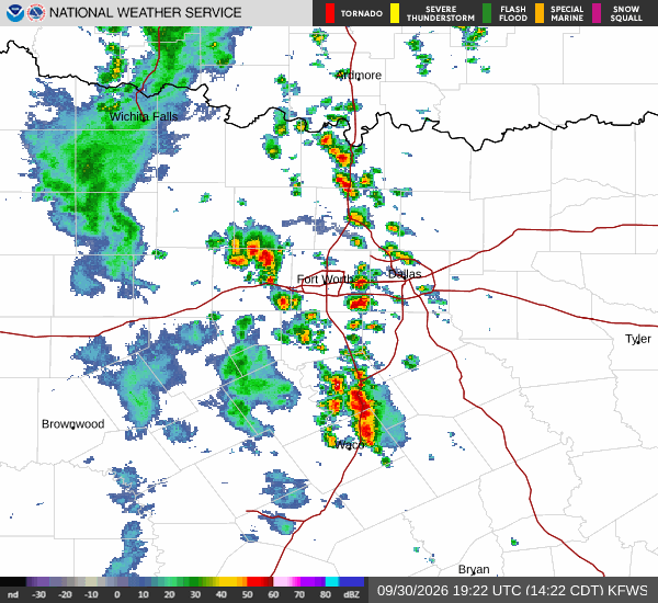
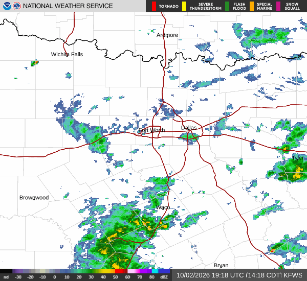
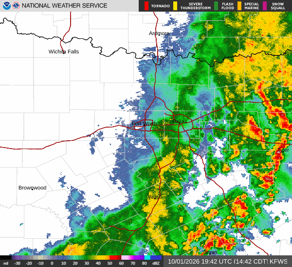
National Weather Service radar for North Texas (KFWS)

*As of Oct 3, 2 PM local time.*

Muggy Conditions and Afternoon Showers

Fort Worth is starting its Saturday afternoon under quite humid skies. The current air temperature sits at 72F, but the heat index feels like 73F due to the heavy moisture in the air. Relative humidity is holding steady at 94%, with a dew point of 70F creating a sticky atmosphere.

Visibility is currently reduced by fog and mist, while winds are blowing from the north northeast at 9 mph with gusts reaching 12 mph.

According to the National Weather Service, rain showers are likely today. The sky will remain cloudy throughout the day, with a high near 76F. There is a 60% chance of precipitation, and new rainfall amounts between a tenth and a quarter of an inch are possible.

As evening approaches, conditions will stay mostly cloudy. A chance of rain showers exists before 7pm, followed by a chance of showers and thunderstorms later in the night. Temperatures will drop to a low near 68F, though they may rise slightly to around 70F during the overnight hours.

Warming Trend and Breezy Tomorrow

Looking ahead, Fort Worth will see a significant warm-up tomorrow. The high is expected to reach near 82F, with a low of 66F. Skies will transition from a chance of rain showers before 10am to partly sunny conditions for the rest of the day.
Winds will pick up, blowing from the north northeast at 5 to 10 mph, with gusts as high as 25 mph. The chance of precipitation drops to 34%, with less than a tenth of an inch of new rainfall possible.

Tomorrow night will bring mostly clear skies and a low around 66F. Winds will continue from the north at 5 to 10 mph. There are no active National Weather Service or NOAA weather alerts in effect for this area.

Given the high humidity and potential for rain, residents should stay hydrated and limit midday exertion if possible. Keep an eye on local updates as conditions can change quickly with thunderstorms.

National Weather Service radar for North Texas (KFWS)

Sources

National Weather Service radar

National Weather Service forecast data

Open-Meteo weather data

Share

Tessa Whitlock

Tessa Whitlock covers weather, storms, and seasonal life around Fort Worth.

Related Stories

More in Sport