Fort Worth

FortWorthWeekly.news · Western roots. Modern Fort Worth news.

Back to Weather

5-day forecast / Fort Worth, TX

TuesdaySunny106° / 83° 1%
WednesdaySunny105° / 82° 1%
ThursdaySunny101° / 81° 1%
FridaySunny103° / 83° 1%
SaturdayMostly Sunny103° / 83° 5%

Extreme Heat Warning in Effect for Fort Worth as Temperatures Soar Near 106F - Jul 21, 8 AM

Fort Worth weather, updated every four hours — local forecasts you can trust.

An Extreme Heat Warning is active for Fort Worth today. Current temperatures are in the low 80s, but highs will reach near 106F with heat indices up to 114F. Residents are urged to take precautions against severe heat.

Tessa Whitlock

July 21, 20262 min read

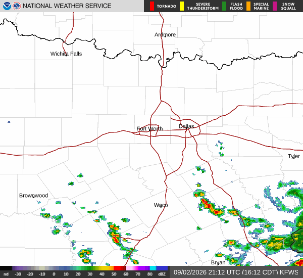
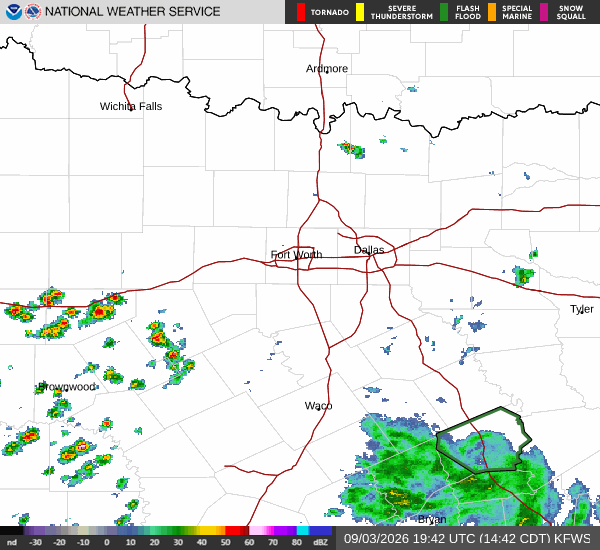
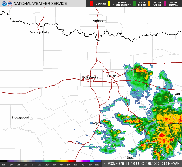
National Weather Service radar for North Texas (KFWS)

*As of Jul 21, 8 AM local time.*

Severe Heat Alert Active

An Extreme Heat Warning is currently in effect for Fort Worth, signaling dangerous conditions that require immediate attention. The National Weather Service has issued this severe alert due to the potential for life-threatening heat levels. This warning is active now and remains in place through the evening hours. Residents should monitor local conditions closely and prepare for extreme temperatures that exceed normal safety thresholds.

Current Conditions and Today's Forecast

Right now, the air temperature in Fort Worth is 82F, with a feels-like temperature of 85F. The relative humidity stands at 62%, and the dew point is 68F. Winds are light, blowing at 3 mph with gusts reaching up to 12 mph, while the sky remains clear.

Today, the sun will dominate the sky, bringing a high near 106F. The low for the day will settle around 83F. The chance of precipitation is minimal at just 1%. According to the National Weather Service, heat index values will climb as high as 114F during the day. Winds will be from the west northwest at 0 to 5 mph.

Tonight, skies will stay clear with a low around 83F. Temperatures may rise slightly to around 86F overnight. The heat index will remain elevated, reaching up to 114F. South winds will be calm, around 0 mph.

Tomorrow's Outlook and Safety

Tomorrow, the weather will remain sunny with a high near 105F and a low near 82F. The chance of rain is negligible at 1%. Heat index values are expected to peak at 113F. Winds will shift to the north northeast, ranging from 0 to 10 mph.
Given the severity of the Extreme Heat Warning, it is critical to prioritize safety. Stay hydrated by drinking water frequently, even if you do not feel thirsty. Limit outdoor exertion, especially during the midday hours when the sun is strongest.

Seek air-conditioned environments as much as possible. Check on elderly neighbors and those who may be vulnerable to heat-related illnesses. Do not leave people or pets in parked vehicles.

The heat is intense and poses serious health risks; please take these standard precautions seriously to stay safe.

National Weather Service radar for North Texas (KFWS)

Sources

https://radar.weather.gov

https://api.weather.gov

https://open-meteo.com

Share

Tessa Whitlock

Tessa Whitlock covers weather, storms, and seasonal life around Fort Worth.

Related Stories

More in Sport