Fort Worth

FortWorthWeekly.news · Western roots. Modern Fort Worth news.

Back to Weather

5-day forecast / Fort Worth, TX

SundayChance Showers And Thunderstorms94° / 75° 53%
MondayChance Showers And Thunderstorms then Showers And Thunderstorms Likely91° / 73° 57%
TuesdayShowers And Thunderstorms Likely90° / 72° 57%
WednesdaySlight Chance Showers And Thunderstorms then Chance Showers And Thunderstorms91° / 73° 29%
ThursdayMostly Sunny then Slight Chance Showers And Thunderstorms93° / 75° 15%

Fort Worth Heat Index Hits 99F Today With Scattered Storms - Jul 12, 12 PM

Fort Worth weather, updated every four hours — local forecasts you can trust.

Temperatures soar to 94F with a heat index near 99F in Fort Worth today. Scattered showers and thunderstorms are possible, bringing relief from the intense humidity.

Tessa Whitlock

July 12, 20262 min read

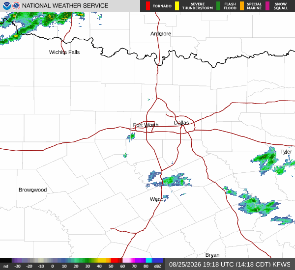
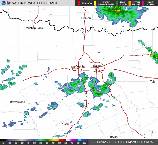
National Weather Service radar for North Texas (KFWS)

*As of Jul 12, 12 PM local time.*

Current Conditions and Heat Index

Fort Worth is experiencing very hot conditions this Sunday afternoon. The air temperature stands at 90F, but the heat index makes it feel like 98F. Humidity levels are quite high, with a dew point of 73F and relative humidity at 59%. Winds are light, blowing from the south southeast at 8 mph with gusts to 8 mph, while the sky remains clear.

Today and Tonight Forecast

Today, high temperatures will reach near 94F, with heat index values climbing as high as 99F. Temperatures may fall to around 92F in the afternoon. There is a 50% chance of showers and thunderstorms, with new rainfall amounts less than a tenth of an inch possible. Winds will shift to the south southeast at around 5 mph.

Tonight, conditions will turn mostly cloudy with a low near 75F. Temperatures may rise to around 77F overnight. The heat index will remain high at 97F. There is a 50% chance of showers and thunderstorms, with rainfall amounts between a tenth and quarter of an inch possible. Winds will ease to east southeast at 0 to 5 mph.

Tomorrow Outlook

Tomorrow, the heat will persist with a high near 91F. Heat index values could reach 101F. Temperatures may drop to around 88F in the afternoon. Precipitation chances are elevated, starting with a chance of showers and thunderstorms before 7am, followed by showers and thunderstorms likely between 7am and 4pm, and a chance of showers and thunderstorms later. The overall chance of precipitation is 60%, with rainfall amounts between a quarter and half of an inch possible. Winds will remain light at south southeast 0 to 5 mph.
Safety Reminder

Given the high heat index values, it is crucial to stay hydrated and limit midday exertion. Check on neighbors, especially the elderly, who may be more vulnerable to heat-related illnesses. While there are no active weather alerts, be prepared for sudden changes in weather due to the potential for thunderstorms.

National Weather Service radar for North Texas (KFWS)

Sources

https://radar.weather.gov

https://api.weather.gov

https://open-meteo.com

Share

Tessa Whitlock

Tessa Whitlock covers weather, storms, and seasonal life around Fort Worth.

Related Stories

More in Sport