Fort Worth

FortWorthWeekly.news — Western roots. Neighborhood news for modern Fort Worth.

Back to Weather

5-day forecast / Fort Worth, TX

WednesdayScattered Showers And Thunderstorms92° / 74° 37%
ThursdayShowers And Thunderstorms82° / 71° 91%
FridayScattered Showers And Thunderstorms80° / 67° 47%
SaturdayScattered Showers And Thunderstorms78° / 67° 54%
SundayChance Showers And Thunderstorms81° / 66° 31%

Flood Watch in Effect for Fort Worth Amid Humid, Stormy Conditions - Sep 30, 2 PM

Fort Worth weather, updated every four hours — local forecasts you can trust.

A severe Flood Watch is active for Fort Worth as high humidity and scattered storms bring rain chances. Current temperatures feel like 94F with gusty winds.

Tessa Whitlock

September 30, 20262 min read

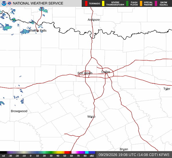
National Weather Service radar for North Texas (KFWS)

*As of Sep 30, 2 PM local time.*

Active Alerts and Current Conditions

A severe Flood Watch is currently in effect for the Fort Worth area, extending until October 2 at 7:00AM CDT. This alert was issued by the National Weather Service on September 30 at 4:40AM CDT and signals a significant risk for flooding due to heavy rainfall.

As of this Wednesday afternoon, conditions are notably humid with a dew point of 72F and relative humidity at 59%. The air temperature stands at 88F, but the heat index makes it feel like 94F. Winds are blowing from the south at 17 mph, with gusts reaching up to 24 mph. The sky remains mostly cloudy, setting the stage for the unsettled weather ahead.

Forecast and Safety Guidance

Today, scattered showers and thunderstorms are expected before 4pm, followed by additional scattered storms later in the day. Highs will reach near 92F, though temperatures may drop to around 90F in the afternoon as clouds build. The heat index could climb as high as 100F.

Rain chances sit at 40%, with new rainfall amounts between a tenth and quarter of an inch possible. South winds are forecast to average 15 mph, with gusts potentially hitting 35 mph.

Tonight, the rain will likely intensify. Scattered showers and thunderstorms are expected before 10pm, transitioning to more widespread showers and storms afterward. Some of these storms may produce heavy rain.
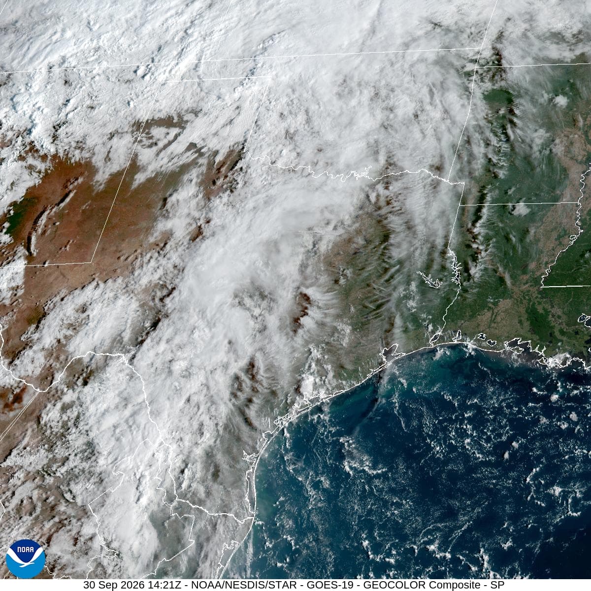
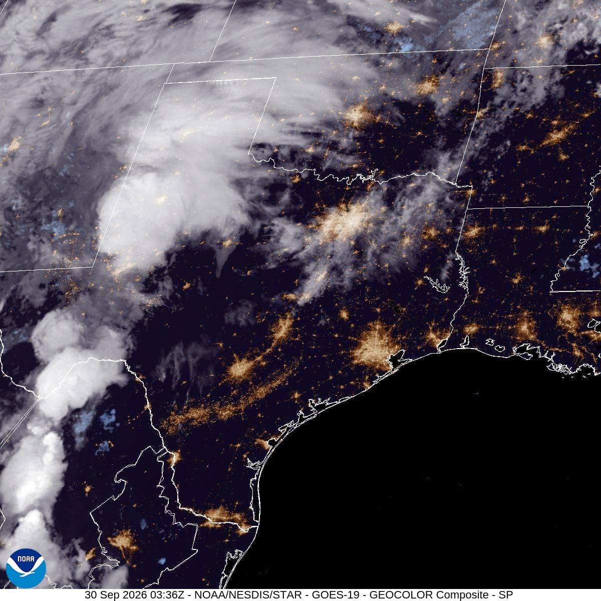
Lows will settle around 74F. The chance of precipitation rises to 90%, with new rainfall amounts between 1 and 2 inches possible. South southeast winds will continue at 10 to 15 mph, with gusts up to 30 mph.

Tomorrow, showers and thunderstorms will persist before 4pm, followed by scattered storms later in the day. Highs will cool to near 82F. The rain chance remains high at 90%, with new rainfall amounts between 2 and 3 inches possible. South southeast winds will lighten to 5 to 10 mph, with gusts up to 20 mph.

Given the active Flood Watch and heavy rain potential, residents should monitor local conditions closely. Avoid driving through flooded roadways and stay informed about potential flash flooding in low-lying areas.

National Weather Service radar for North Texas (KFWS)

Sources

National Weather Service radar

National Weather Service forecast data

Open-Meteo weather data

Share

Tessa Whitlock

Tessa Whitlock covers weather, storms, and seasonal life around Fort Worth.

Related Stories

More in Sport

Sport

The Mavericks could get more from Gafford’s next pass

Daniel Gafford’s perimeter experiment should begin with passing, not a sudden career as a stretch center. Dallas can expand his decisions while protecting the finishing and rebounding that already work.

Pierce NashSeptember 30, 20264 min read