*As of Sep 27, 12 PM local time.*
Current Conditions and Alert Status
An Air Quality Alert is currently active for the Fort Worth area. This advisory was issued by the National Weather Service in Fort Worth on September 26 at 3:44PM CDT. While the specific severity and urgency levels are listed as unknown, residents should be aware that air quality conditions may impact sensitive groups.
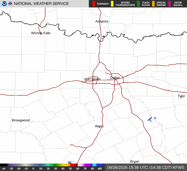
As of this Sunday afternoon, the local environment is warm and dry with clear skies. The current air temperature stands at 90F, though it feels like 93F due to humidity levels sitting at 49%. The dew point is recorded at 68F. Winds are blowing from the south-southeast at 13 mph, with gusts reaching up to 9 mph.
Forecast for Today and Tonight
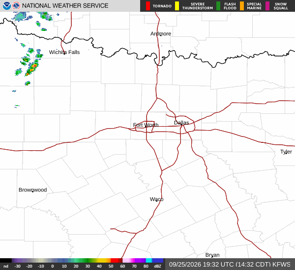
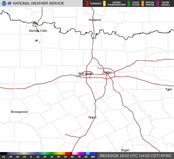
The National Weather Service forecasts a high near 96F today, with temperatures expected to drop slightly to around 94F in the afternoon. Heat index values could climb as high as 99F. There is a 30% chance of precipitation, with scattered showers and thunderstorms possible. Winds will shift to a south-southeast direction at around 5 mph.
Tonight, conditions will remain partly cloudy with a low near 75F. The chance of precipitation remains at 30%, with scattered showers and thunderstorms still in the forecast. New rainfall amounts less than a tenth of an inch are possible. Winds will continue from the south-southeast at approximately 5 mph.
Outlook for Tomorrow
Tomorrow, the high is expected to reach near 96F again, falling to around 94F in the afternoon. The heat index may rise as high as 100F. There is a slight chance of showers and thunderstorms, with precipitation chances listed at 20%. New rainfall amounts less than a tenth of an inch are possible. Winds will be south-southeast at 5 to 10 mph.