Fort Worth

FortWorthWeekly.news — Western roots. Neighborhood news for modern Fort Worth.

Back to Weather

5-day forecast / Fort Worth, TX

SaturdayMostly Sunny96° / 75° 1%
SundaySlight Chance Showers And Thunderstorms95° / 76° 25%
MondaySlight Chance Rain Showers then Mostly Sunny96° / 77° 22%
TuesdayPartly Sunny96° / 77° 4%
WednesdayChance Showers And Thunderstorms90° / 73° 60%

Fort Worth Heat and Air Quality Alert: 96F High Expected - Sep 26, 2 PM

Fort Worth weather, updated every four hours — local forecasts you can trust.

Fort Worth residents face an active Air Quality Alert alongside extreme heat. Current temperatures are 93F with a heat index reaching 100F. A slight chance of storms is possible tomorrow.

Tessa Whitlock

September 26, 20262 min read

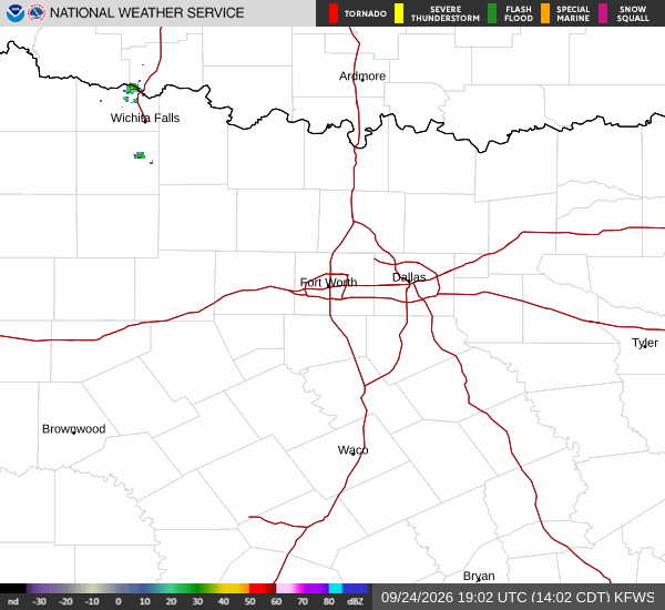
National Weather Service radar for North Texas (KFWS)

*As of Sep 26, 2 PM local time.*

Current Heat and Air Quality Concerns

Fort Worth is currently experiencing significant heat, with the air temperature sitting at 93F and the feels-like temperature at 95F. The sky is clear, and relative humidity is at 39% with a dew point of 64F. Winds are light at 6 mph, with gusts recorded at 3 mph.

An active Air Quality Alert has been issued by the National Weather Service for the Fort Worth area. While the specific severity and urgency details are not fully specified in the current data, residents should remain aware of potential respiratory irritants in the air. This alert coincides with the high temperatures, creating a dual challenge for outdoor activities.

Today's Forecast and Evening Outlook

The day will remain sunny, with the high temperature expected to reach near 96F. Heat index values are projected to climb as high as 100F, indicating dangerous levels of perceived heat. The low temperature will drop to around 75F.

Winds will shift to a south-southeast direction at approximately 5 mph. Tonight, the sky will become partly cloudy. The temperature will hold steady near the 75F mark, with winds increasing slightly to between 5 and 10 mph from the south-southeast.

The chance of precipitation remains negligible at 1% for the remainder of the day.
Tomorrow's Weather Pattern

Tomorrow brings a slight chance of showers and thunderstorms, with precipitation probabilities rising to 25% and potentially reaching 30% during specific windows. The high temperature will be near 95F, with heat index values again reaching 100F. The low will be around 76F.

Winds will be from the south at about 5 mph. New rainfall amounts, if they occur, are expected to be less than a tenth of an inch. Given the combination of high heat indices and potential air quality issues, it is advisable to limit midday exertion, stay hydrated, and monitor official updates for any changes in air quality conditions.

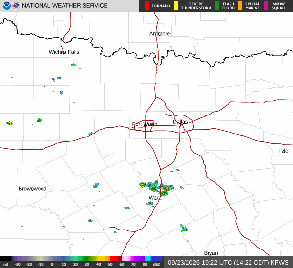
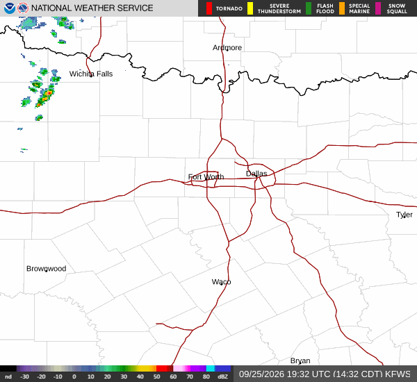
National Weather Service radar for North Texas (KFWS)

Sources

National Weather Service radar

National Weather Service forecast data

Open-Meteo weather data

Share

Tessa Whitlock

Tessa Whitlock covers weather, storms, and seasonal life around Fort Worth.

Related Stories

More in Sport