Fort Worth

FortWorthWeekly.news — Western roots. Neighborhood news for modern Fort Worth.

Back to Weather

5-day forecast / Fort Worth, TX

WednesdaySunny then Slight Chance Showers And Thunderstorms100° / 80° 11%
ThursdaySunny then Chance Showers And Thunderstorms100° / 79° 32%
FridaySunny100° / 79° 12%
SaturdaySunny101° / 80° 1%
SundaySunny100° / 79° 1%

Fort Worth Heat Advisory: Dangerous Heat Index Expected Through Tomorrow - Sep 8, 2 PM

Fort Worth weather, updated every four hours — local forecasts you can trust.

Fort Worth is under a Heat Advisory as temperatures reach 99F and feel like 103F. Residents should stay hydrated and limit outdoor activity, with highs near 102F today and 101F tomorrow.

Tessa Whitlock

September 8, 20262 min read

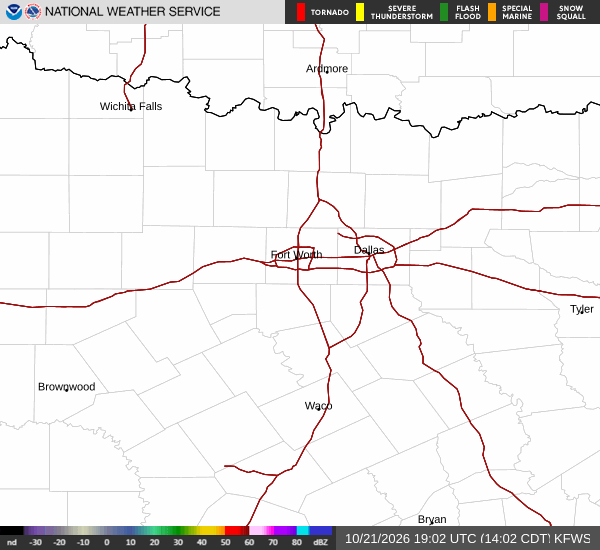
National Weather Service radar for North Texas (KFWS)

*As of Sep 8, 2 PM local time.*

Current Conditions and Alert Status

Fort Worth is currently experiencing dangerous heat conditions, with an active Heat Advisory in effect. The air temperature stands at 99F, but the heat index makes it feel like 103F. Relative humidity is at 35%, and the dew point is 66F.

Winds are blowing from the south southeast at 9 mph, with gusts reaching 11 mph. The sky is partly cloudy. This advisory, issued by the National Weather Service, remains in place until 8:00 PM CDT tomorrow.

The moderate severity of this alert underscores the need for caution during these extreme conditions.

Today's and Tonight's Forecast

Today will be sunny with a high near 102F. The heat index values could reach as high as 107F, posing significant risks to those spending time outdoors. Winds will remain light, ranging from 5 to 10 mph from the south southeast.

Tonight, the sky will be mostly clear, and temperatures will drop to a low around 81F. However, the heat index will still reach values as high as 104F, meaning the air will remain uncomfortably warm even after sunset. Winds will continue to blow from the south southeast at 5 to 10 mph.
Tomorrow's Outlook and Safety Reminders

Tomorrow will start sunny with a high near 101F. A slight chance of showers and thunderstorms is possible after 4 PM. The heat index is expected to peak at 108F, making it one of the hottest days of the period.

Winds will be lighter, around 5 mph from the south southeast. As the day progresses, the chance of precipitation remains low at 11%. Given the persistent high heat indices exceeding 100F across both days, it is crucial to stay hydrated and limit midday exertion.

Check on neighbors, especially those who are elderly or live alone, and avoid prolonged exposure to direct sunlight. These general safety measures are essential for mitigating the risks associated with this heat advisory.

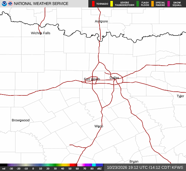
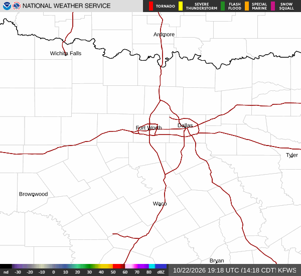
National Weather Service radar for North Texas (KFWS)

Sources

https://radar.weather.gov

https://api.weather.gov

https://open-meteo.com

Share

Tessa Whitlock

Tessa Whitlock covers weather, storms, and seasonal life around Fort Worth.

Related Stories

More in Sport