Fort Worth

FortWorthWeekly.news · Western roots. Modern Fort Worth news.

Back to Weather

5-day forecast / Fort Worth, TX

FridaySlight Chance Rain Showers94° / 80° 2%
SaturdayMostly Sunny102° / 80° 1%
SundaySunny103° / 81°
MondaySunny104° / 81°
TuesdaySunny105° / 82°

Heat Advisory in Effect for Fort Worth as Temperatures Climb Toward 102F - Jul 24, 4 PM

Fort Worth weather, updated every four hours — local forecasts you can trust.

A Heat Advisory is active for Fort Worth as temperatures soar. Current feels-like readings hit 98F, with highs near 97F today and 102F tomorrow. Stay cool and hydrated.

Tessa Whitlock

July 24, 20262 min read

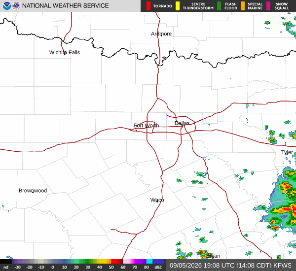
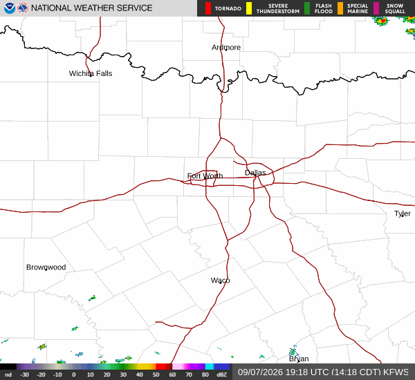
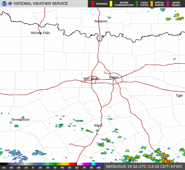
National Weather Service radar for North Texas (KFWS)

*As of Jul 24, 4 PM local time.*

Current Conditions and Alert Status

Fort Worth is currently under an active Heat Advisory, a moderate-severity alert issued by the National Weather Service. The advisory remains in effect through the evening of tomorrow. Right now, the air temperature stands at 90F, but the combination of heat and humidity pushes the feels-like temperature to 98F.

The relative humidity is at 59%, with a dew point of 73F, creating a muggy atmosphere. Winds are blowing from the south at 11 mph, with gusts reaching 13 mph, while the sky remains cloudy.

Today and Tonight Forecast

Today, residents can expect a high near 97F. There is a slight chance of rain showers before 4pm, though the overall chance of precipitation is only 2%. The National Weather Service notes that heat index values could reach as high as 107F during the day. South winds will average around 10 mph, with gusts potentially hitting 20 mph.

As evening approaches, skies will transition to partly cloudy conditions. The low will settle near 80F, but temperatures may rise to around 82F overnight. The heat index is expected to remain elevated, with values as high as 107F. Winds will continue from the south at around 10 mph, with gusts up to 20 mph.

Tomorrow Outlook

Tomorrow, the heat will intensify significantly. The sky will be mostly sunny, and the high will reach near 102F. This marks a notable increase from today’s temperatures. The heat index is forecast to climb to as high as 110F. Winds will shift to south southwest, blowing between 5 to 10 mph.
During tomorrow night, skies will clear to mostly clear conditions. The low will be around 80F, with temperatures rising to approximately 83F overnight. The heat index will remain high, peaking at 109F. Winds will stay light, ranging from 5 to 10 mph from the south.

Safety Reminder

With a Heat Advisory in place and heat indices exceeding 100F, it is critical to take precautions. Stay hydrated by drinking plenty of water, even if you do not feel thirsty. Limit outdoor exertion, especially during the midday hours when the sun is strongest.

Check on elderly neighbors or those without air conditioning to ensure their safety. If you must be outside, seek shade and wear lightweight, light-colored clothing to help manage the extreme heat.

National Weather Service radar for North Texas (KFWS)

Sources

https://radar.weather.gov

https://api.weather.gov

https://open-meteo.com

Share

Tessa Whitlock

Tessa Whitlock covers weather, storms, and seasonal life around Fort Worth.

Related Stories

More in Sport