Fort Worth

FortWorthWeekly.news · Western roots. Modern Fort Worth news.

Back to Weather

5-day forecast / Fort Worth, TX

ThursdaySunny101° / 80°
FridayMostly Sunny98° / 80° 2%
SaturdayMostly Sunny100° / 81°
SundaySunny103° / 81° 1%
MondaySunny104° / 82°

Heat Advisory in Effect for Fort Worth as Temperatures Soar - Jul 23, 4 PM

Fort Worth weather, updated every four hours — local forecasts you can trust.

A Heat Advisory is active for Fort Worth, TX, with heat index values reaching up to 108F today. Current conditions show 97F with a feels-like of 101F.

Tessa Whitlock

July 23, 20262 min read

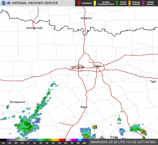
National Weather Service radar for North Texas (KFWS)

*As of Jul 23, 4 PM local time.*

Dangerous Heat Conditions

A Heat Advisory is currently in effect for Fort Worth, Texas, signaling dangerous heat conditions for the region. The National Weather Service has issued this moderate-severity alert, which remains active until the evening of July 24. Residents are urged to take immediate precautions as temperatures climb significantly above normal levels.

Current conditions in Fort Worth reflect the intensity of the heat wave. The air temperature stands at 97F, but the combination of heat and humidity makes it feel like 101F. Relative humidity is at 37%, with a dew point of 66F.

Winds are blowing from the east northeast at 16 mph, with gusts reaching 17 mph. The sky remains clear, offering no relief from the sun’s direct radiation.

Forecast for Today and Tomorrow

Today, Fort Worth will experience sunny skies with a high near 101F. The National Weather Service reports that heat index values could reach as high as 108F. Winds will shift to the east northeast around 10 mph, with gusts as high as 20 mph. There is a 0% chance of precipitation, ensuring the heat remains unbroken.

Tonight, conditions will remain mostly clear with a low around 80F. Temperatures may rise to around 82F overnight. The heat index is expected to stay high, with values as high as 107F. Winds will decrease to the east southeast at 5 to 10 mph, though gusts may still reach 20 mph.
Tomorrow, the heat will persist but with a slight dip in the high temperature, which will be near 98F. Skies will be mostly sunny, and the heat index could reach 106F. Winds will shift to the south southeast around 10 mph, with gusts as high as 25 mph. There is a minimal 2% chance of precipitation.

Safety Reminders

Given the active Heat Advisory and the high heat index values, it is critical to stay hydrated and limit outdoor exertion, especially during the midday hours. Check on elderly neighbors and those without air conditioning. Avoid direct sun exposure as much as possible and seek air-conditioned environments during the peak heat of the day.

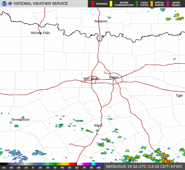
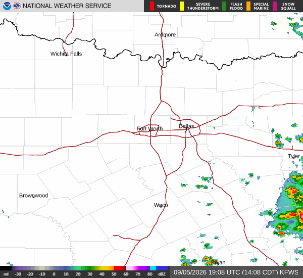
National Weather Service radar for North Texas (KFWS)

Sources

https://radar.weather.gov

https://api.weather.gov

https://open-meteo.com

Share

Tessa Whitlock

Tessa Whitlock covers weather, storms, and seasonal life around Fort Worth.

Related Stories

More in Sport